This is a digital product (eg. voucher, product license, service, etc.) and does not require shipping.
The seller will be in contact to deliver this product to you electronically.
The seller has indicated that they will usually have this item
ready to ship within 3 business days.
Shipping time depends on your delivery address.
The most accurate delivery time will be calculated at checkout,
but in general, the following shipping times apply:
Money-Back Guarantee:
7 Days: Refund if returned, excluding Postage.
Get it now, pay later
Product details
Condition
New
Location
South Africa
Area
Africa
Time Period
1900-1950
Type
Political Map
Bob Shop ID
602100131
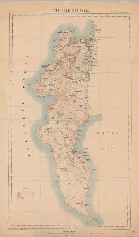
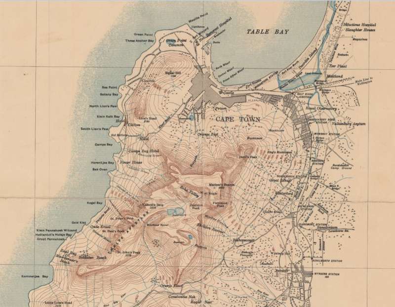
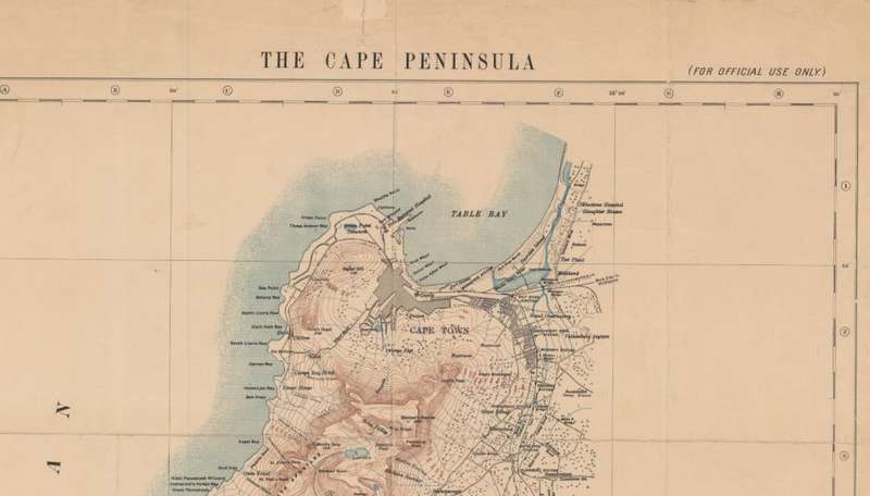
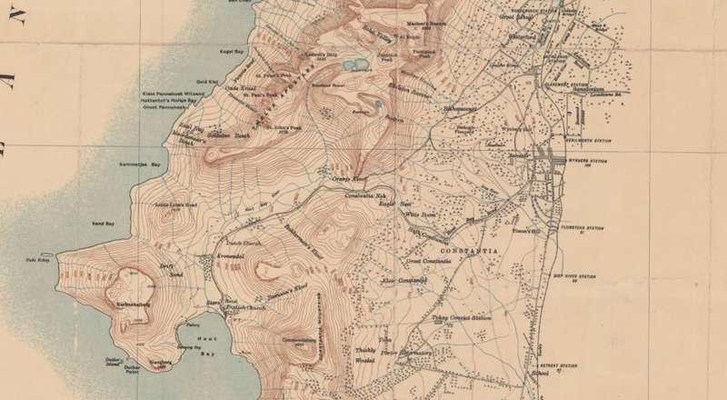
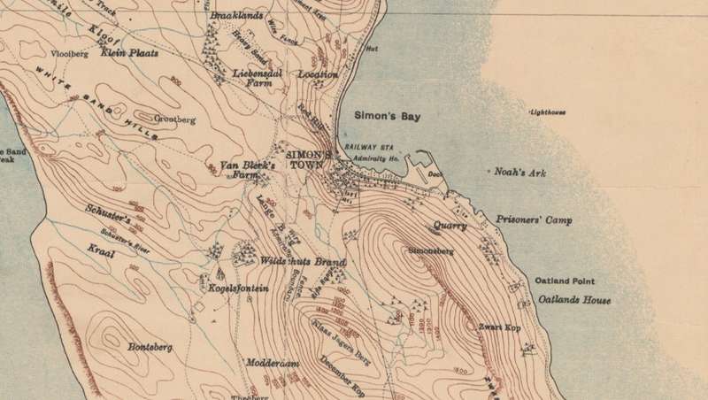
Title: Cape Peninsula 1909 1 x Map Digital Download. Publisher: The War Office, 1909. Union of South Africa. Format: Vintage Printed Map that has been scanned and saved as a Tiff image. Printed Size on a large format printer would be as follows:- Height: @ 90cm. Width: 75cm. Total Number of Files: 1 x Tiff images @ 44MB. Info: Cape Town Peninsula from Cape Town to Cape Point as issued by the War Office in 1909 by the Geographical section, General Staff. On completion of the order and receipt of payment a Dropbox link will be forwarded to your e-mail address for downloading of the files. Scale: 1 Inch = 1 Mile. Condition: Digital Download. Price: R 195.00 Inc Vat.