Free shipping is available from CapeCollectables for all orders above R1,500.00, using one of our trusted couriers. Check my rate
The seller allows collection for this item. Buyers will receive the collection address and time once the order is ready.
The seller has indicated that they will usually have this item
ready to ship within 3 business days.
Shipping time depends on your delivery address.
The most accurate delivery time will be calculated at checkout,
but in general, the following shipping times apply:
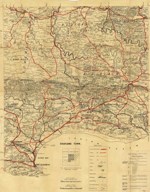
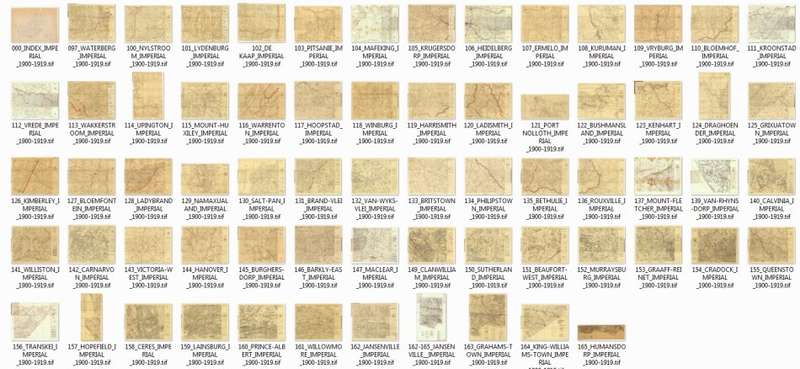
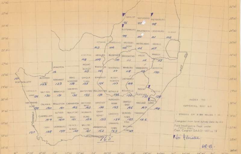
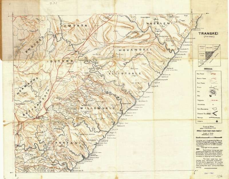
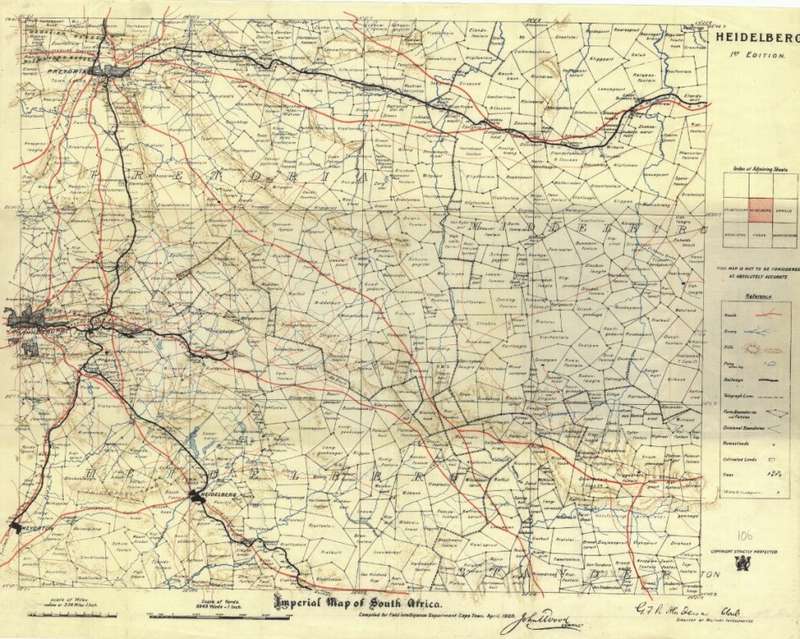
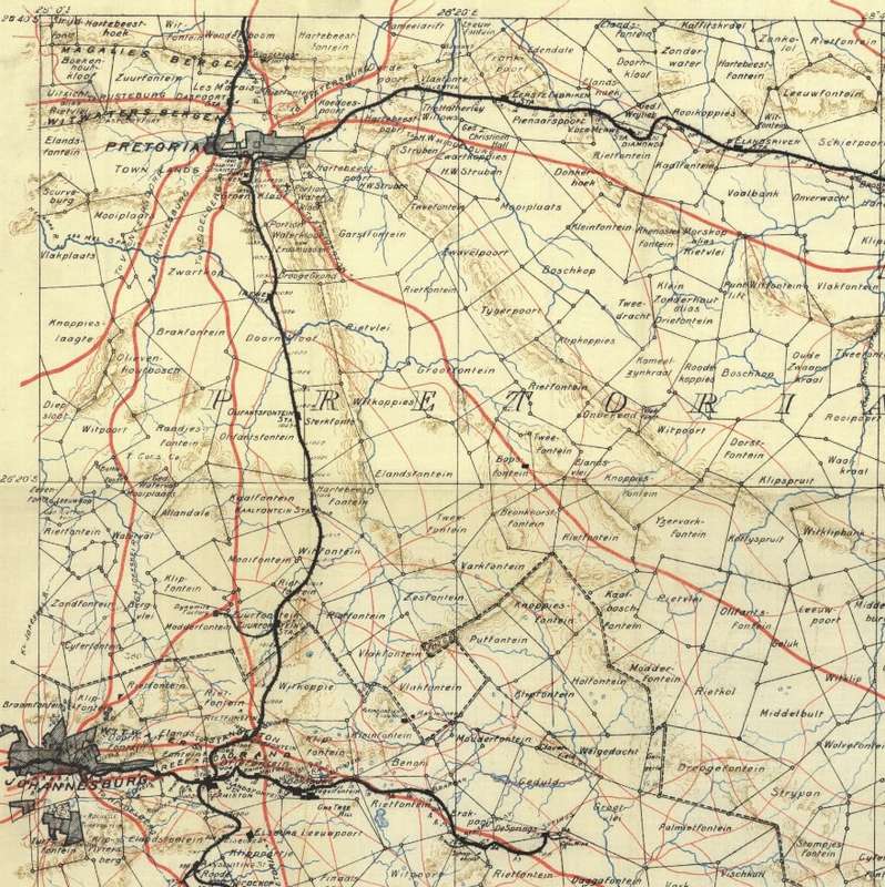
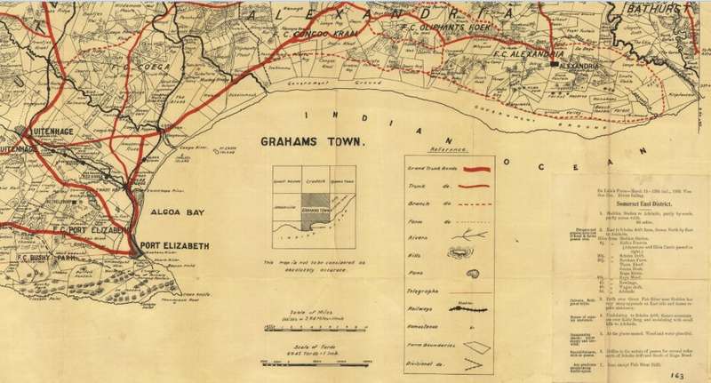
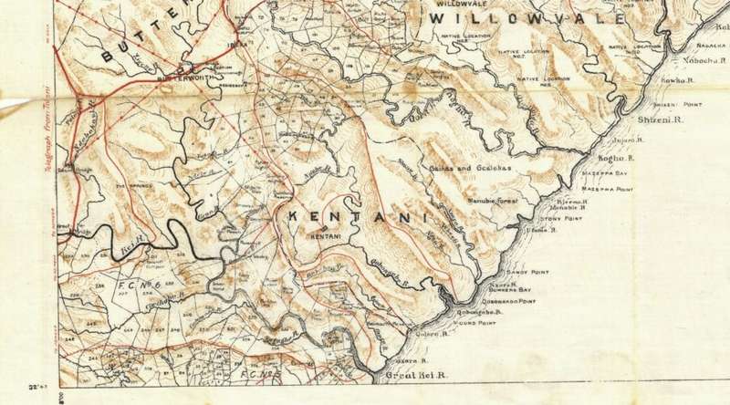
Title: SA Imperial 1900 - 1919 Set of 66 Digital Maps 16GB USB Flash Drive. Publisher: Complied for Field Intelligence Department Cape Town. John Wood Compiler for G F R Henderson, Director of Military Intelligence. Format: Vintage Printed Maps that have been scanned and saved as Tiff images. Printed Size on a large format printer would be as follows:- Height: @ 90cm. Width: 75cm. File Size: Total of 1.49GB. Total Number of Files: 66 Maps plus 1 Grid Map Tiff images @ 20MB to 30MB each. Info: 66 Topographical Maps of South Africa from the early 1900's. Not Included: Missing are the following areas - The Cape South Coast / most of Natal / Northern Limpopo area and parts of the Northern Cape. Please check the grid map in the images to see the extent of coverage. Farm names, roads and towns and villages in the early 1900's. Supplied on a 16GB Sandisk Cruz USB 3.0 Flash Drive. Great for printing and framing any area required and displaying in the Study or Bar area. Scale: 1: 250 000. Condition: New USB Flash drive with digital images. Price: R 545.00 Inc Vat.