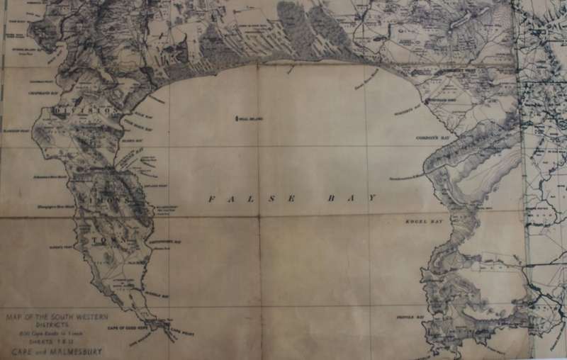
South Western Districts, Cape and Malmesbury @ 1890, Reproduction Printed Wall Map
1 was available / secondhand
R395.00
0% off
Shipping
R35.00 Standard shipping using one of our trusted couriers applies to most areas in South Africa. Some areas may attract a R30.00 surcharge. This will be calculated at checkout if applicable. Check my rate
The seller allows collection for this item. Buyers will receive the collection address and time once the order is ready.
The seller has indicated that they will usually have this item
ready to ship within 3 business days.
Shipping time depends on your delivery address.
The most accurate delivery time will be calculated at checkout,
but in general, the following shipping times apply:
Money-Back Guarantee:
7 Days: Refund if returned, excluding Postage.
Get it now, pay later
Product details
Condition
Secondhand
Location
South Africa
Area
Africa
Time Period
1900-1950
Type
Other
Bob Shop ID
612590610
Title: South Western Districts, Cape and Malmesbury @ 1890, Reproduction Printed Wall Map. Publisher: Surveyor General, @ 1890, very decorative sepia coloured Wall Map that would look great when framed. Scale: 1 : 100 000. Year: Approx 1890. Format: Scanned and Printed from an Original Vintage Map of the SWD. Info: Includes, False Bay, Table Bay, Paarl, Wellington, Stellenbosch, Somerset West, Cape Peninsula, Cape Town, Malmesbury to Tulbagh. Size: 119 cm H x 77 cm W. Map Type: Scanned and printed on poster paper - A Reproduction Print. Condition: Very Good, new print. Price: R 395.00 Inc Vat.