This item has closed with no items sold
View the relisted Item
View other items offered by CapeCollectables1226

Similar products

Vintage Ordnance survey map for England and Wales. 1942 Barnsley & Sheffield.
R1,045.00
VINTAGE TOURIST MAP OF BEIJING
R159.00
29% OFF
ONE OF A KIND, ANTIQUE MAP OF WALES (GOLD FOILED)
R8,500.00 R12,000.00
Vintage Map of the Iberian Peninsula Map of Spain and Portugal 1971, Folded, Medium sized.
R175.00
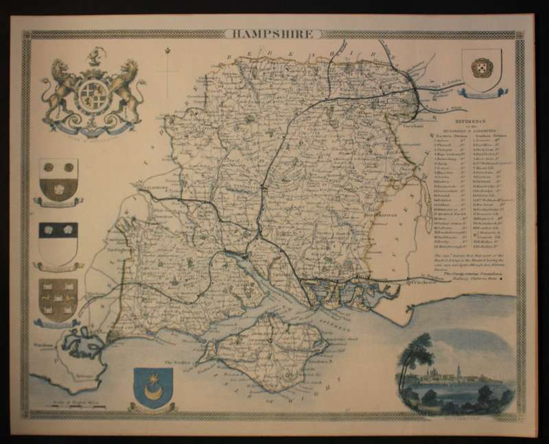
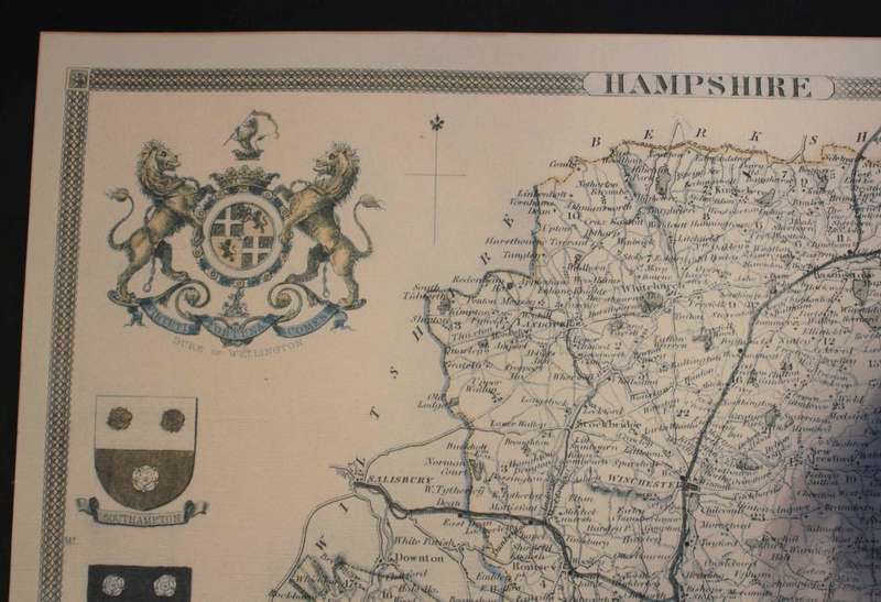
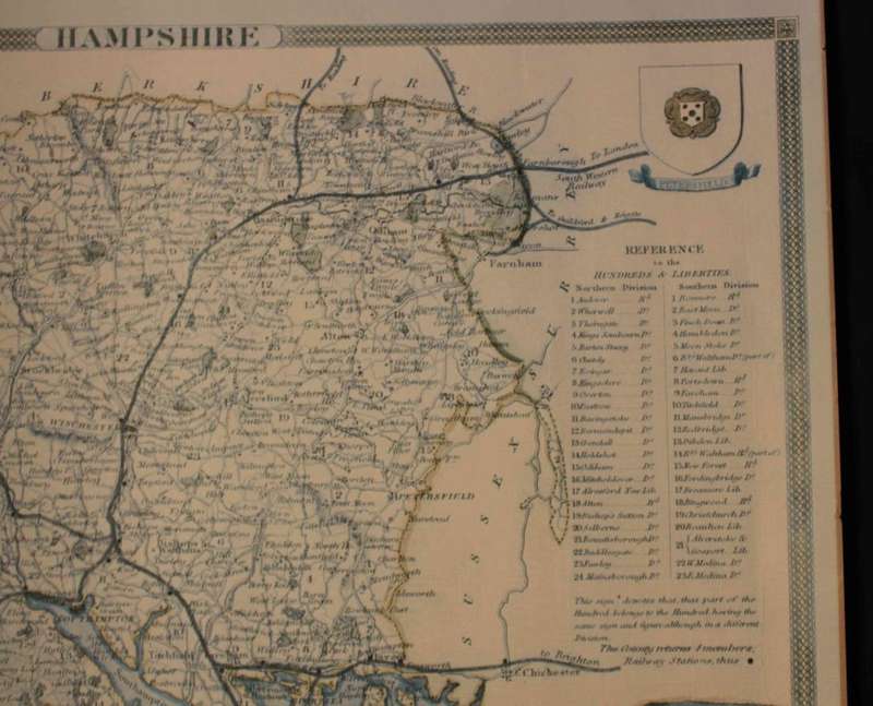
Vintage Map of County of Hampshire England, by Wrightsons Foil Graphics Vintage Map of County of Hampshire England, by Wrightsons Foil Graphics Vintage Map of County of Hampshire England, by Wrightsons Foil Graphics Vintage Map of County of Hampshire England, by Wrightsons Foil Graphics
Closed

Vintage Map of County of Hampshire England, by Wrightsons Foil Graphics

1 was available / secondhand
R495.00
Shipping
Free shipping is available from CapeCollectables for all orders above R1,500.00, using one of our trusted couriers.
Check my rate
The seller allows collection for this item. Buyers will receive the collection address and time once the order is ready.
The seller has indicated that they will usually have this item ready to ship within 3 business days. Shipping time depends on your delivery address. The most accurate delivery time will be calculated at checkout, but in general, the following shipping times apply:
 
Standard Delivery
Main centres:  1-3 business days
Regional areas: 3-4 business days
Remote areas: 3-5 business days
Buyer protection
Returns
Money-Back Guarantee: 7 Days: Refund if returned, excluding Postage.
Get it now, pay later

Product details

Condition
Secondhand
Location
South Africa
Area
Europe
Time Period
Post-1950
Type
Political Map
Bob Shop ID
620042167

Title: Vintage Map of County of Hampshire England, by Wrightsons Foil Graphics.
Publisher: Wrightsons Foil Graphics of London.
Printed By: Wrightsons Foilgraphics London HA4 OYB.
Type: Print: Foil Graphic Dry Printing.
Size: 40cm high x 50cm wide.
Condition: Very Good.
Format: Printed map of the Hampshire county with Duke of Wellington Coat Of Arms and vignette of Southampton with Portsmouth, Southampton, Southwick, Winchester and Petersfield Coat of Arms.
A reproduction of a Thomas Moule map @ 1840's.
A decorative Victorian map of the county that was first published in Barclay's Complete & Universal English Dictionary. (London: 1840s)
Map: Fine Printed Reproduction of an Original release.
Price: R 495.00 Inc Vat.

Recently viewed

See more
BUTTERICK 4776 LOOSE FITTING DRESS SIZE 12-14-16 COMPLETE-UNCUT-F/FOLDED
R25.00
LEGO 10280 Icons Flower Bouquet
R899.00
New Zealand vs France 2007 Rugby World Cup 1/4 Final Match Programme
R250.00
Blue Kyanite sticks, Zimbabwe, 5-9cm
R40.00